
October 18th, 2026 8am-
Run Course: 20ish Miles (course runs around 20.5)
Hike Course: Same route! (please see below for course cut off information)
For an elevation profile and other course information click here
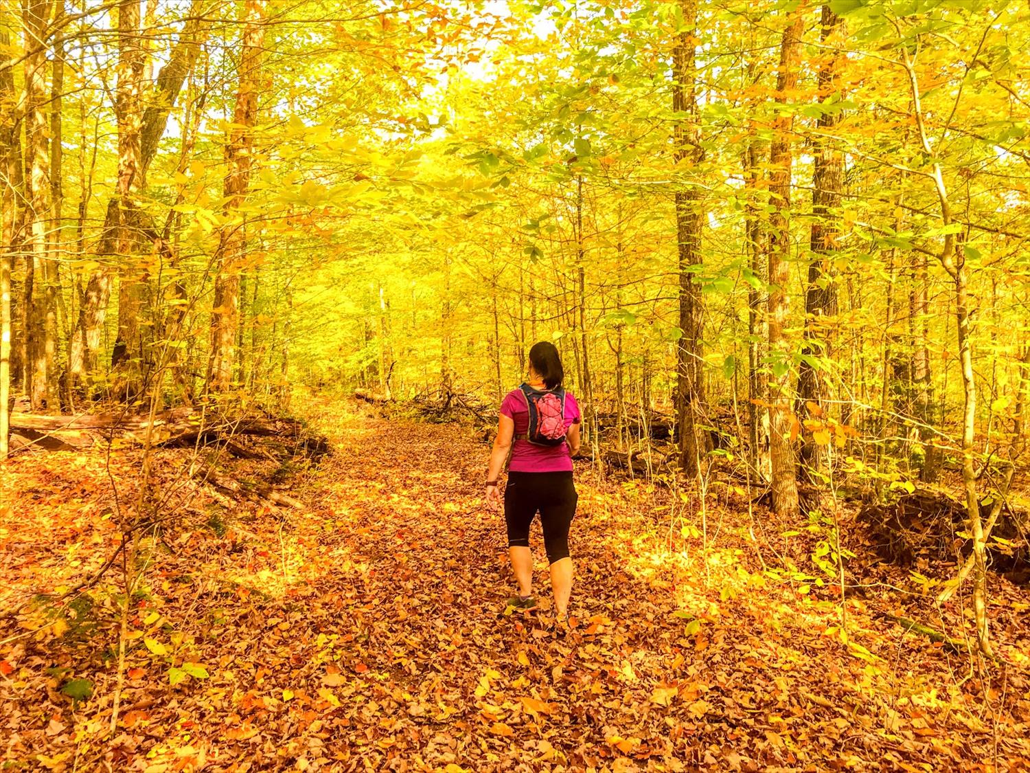
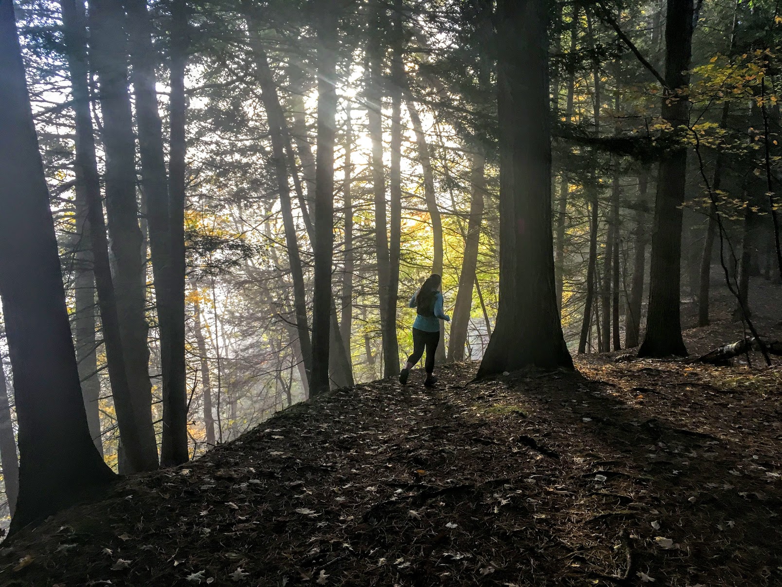
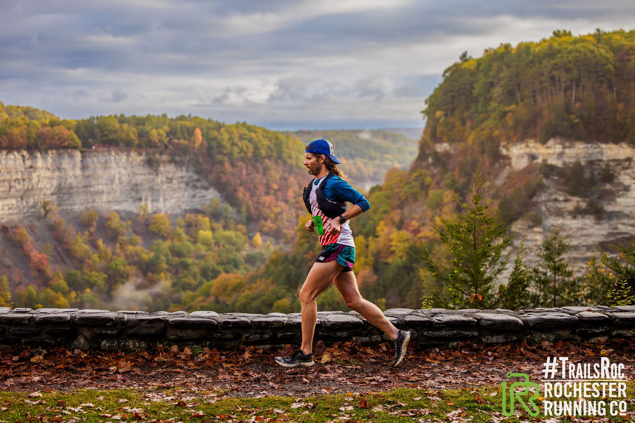
A #TrailsRoc and Rochester Running Company Collaboration. Welcome to one of the most scenic events on the East Coast as we take you on 20ish miles of waterfalls, overlooks, and peak fall foliage.
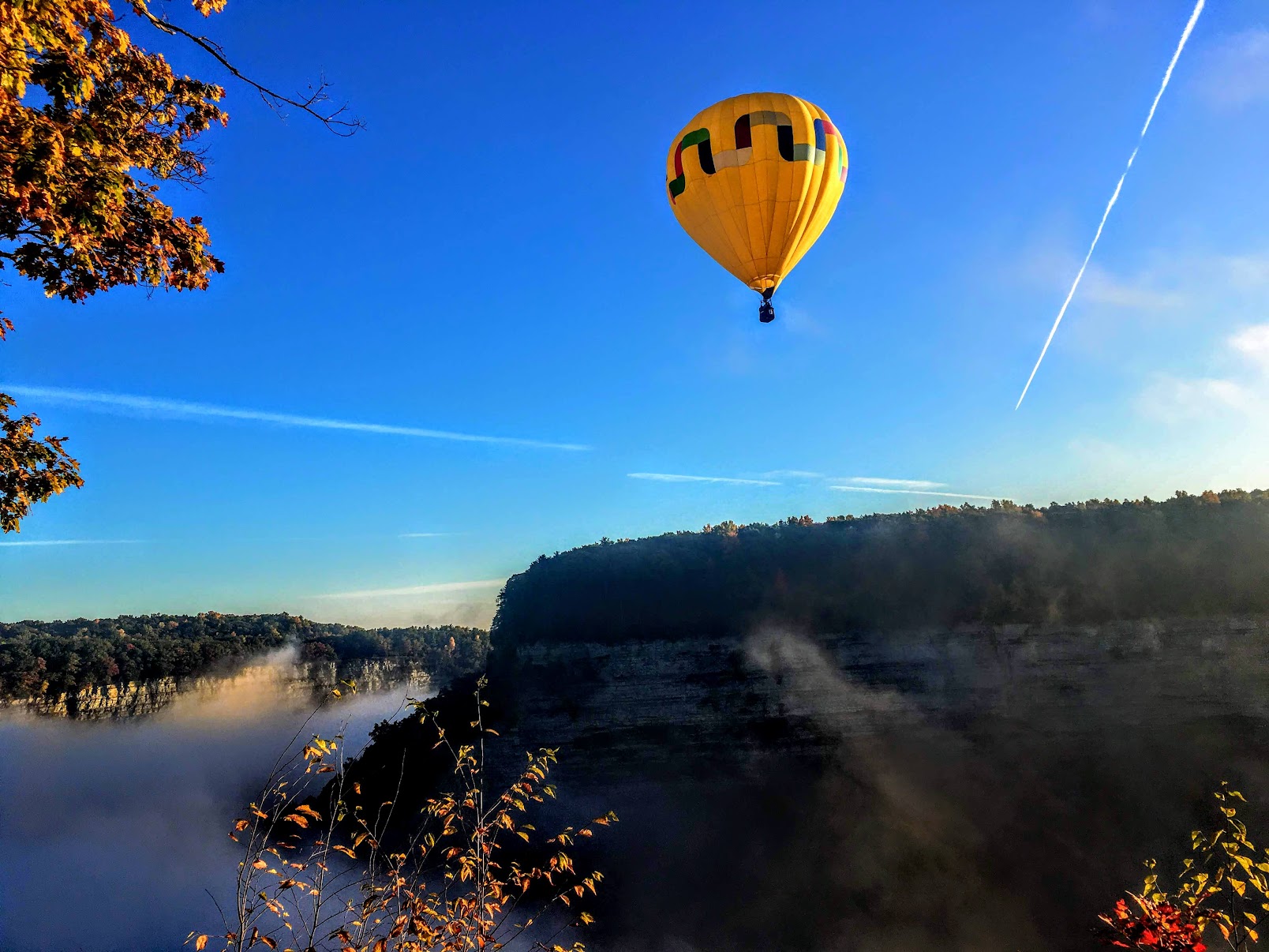
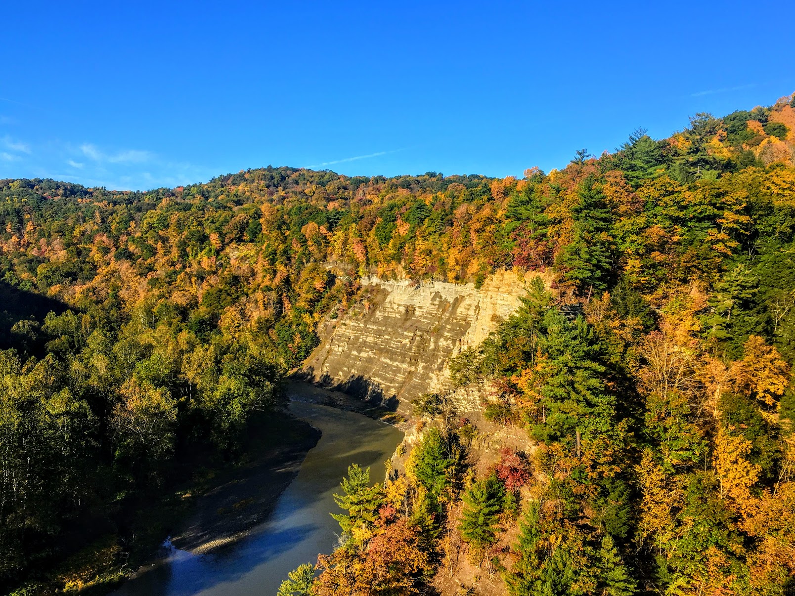
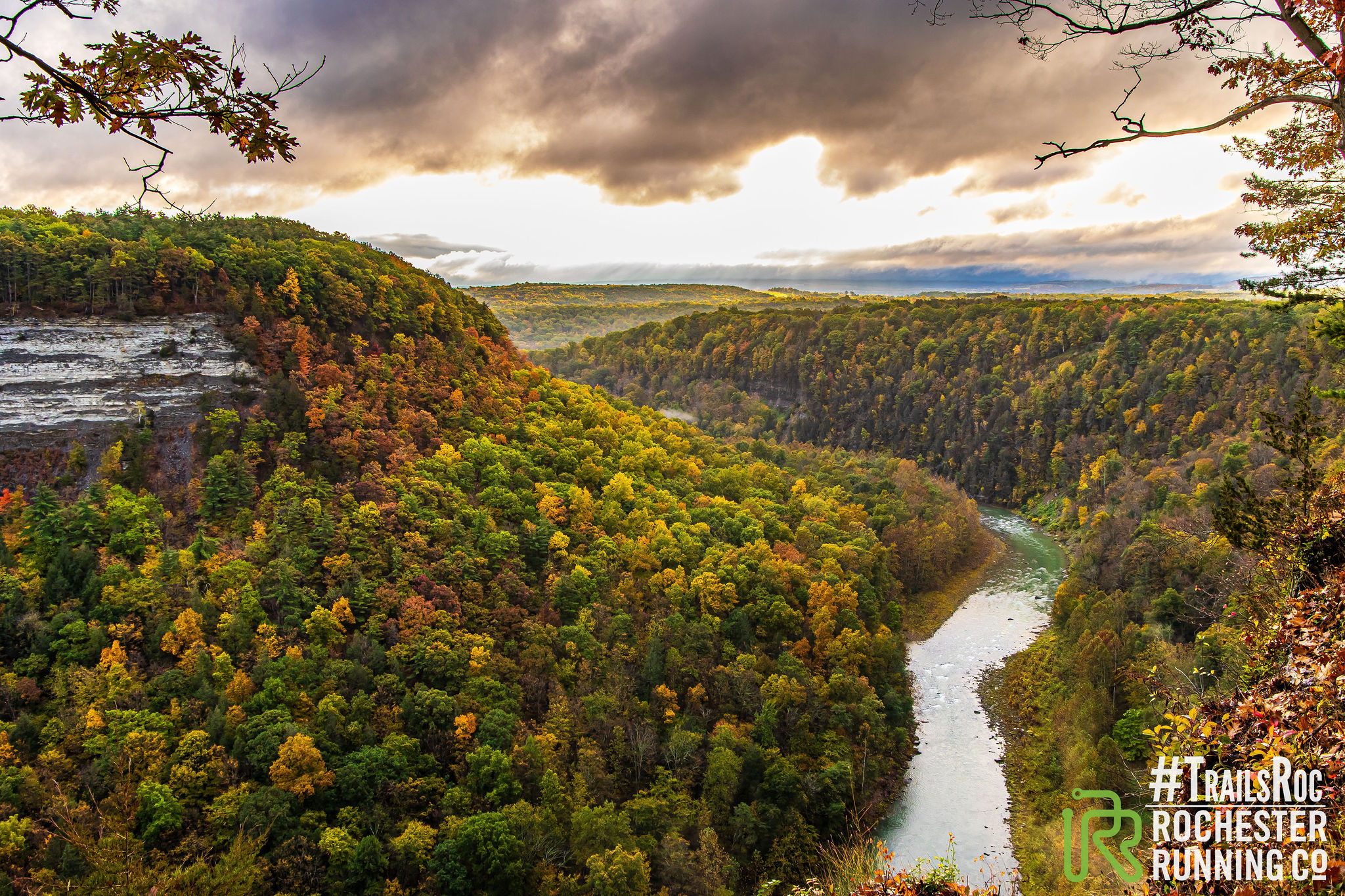
Letchworth State Park
Ranked as the #1 State Park in the nation and known as the Grand Canyon of the East – One of the most scenically magnificent areas in the eastern U.S. The Genesee River roars through the gorge over three major waterfalls between cliffs–as high as 600 feet in some places–surrounded by lush forests. Families can enjoy the Humphrey Nature Center and learn the history of the park at the Native Council Grounds. There is something for everyone at Letchworth
Registration: $85.00 and capped at 200 runners
New for 2024 a Many hike capped at 100 hikers.
DISTANCE DISCLAIMER: This is trail route – The course measures around 20.5 miles
Aid Stations: There will be 2 aid stations along the route at Mile 6 and Mile 14
We need volunteers! Needs:
- Aid Station Help
- Finish Line Help
Race Questions: Email the RD Eric Eagan at race@trailsroc.org
Race swag – Finisher shirt for all registered before October 1st and Fall Festival Food celebration (food, drinks, and snacks for all)
Refund Policy – #TrailsRoc has a more than fair refund policy – Check it out here and follow the instructions.
Important Locations:
Start Line here 9280 Parade Grounds Road Portage NY 14846 https://maps.app.goo.gl/47fEDUhkrtNMYctP8
Finish line: https://goo.gl/maps/59RxdAyJkJ6SCkHu7
Shuttle Information: All runners can ride. Leaves the finish line at High Banks at 6:45AM sharp
There is no shuttle at the end of the race back to the start line.
Packet Pick information: The morning of the race 6am-640 for shuttle riders. 7am-7:50am for folks arriving at the start – Shirts available at the finish line for those who registered in time.
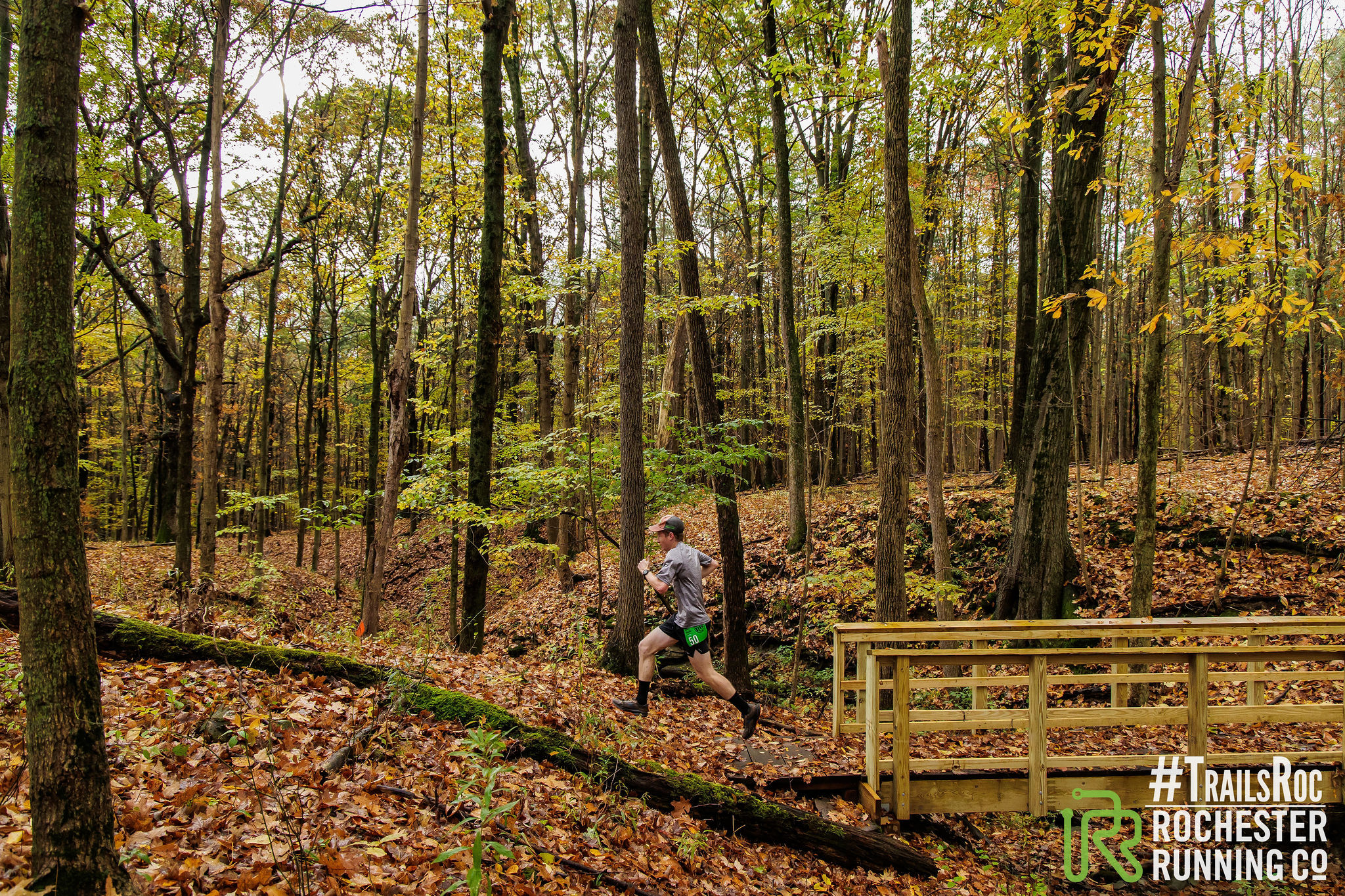
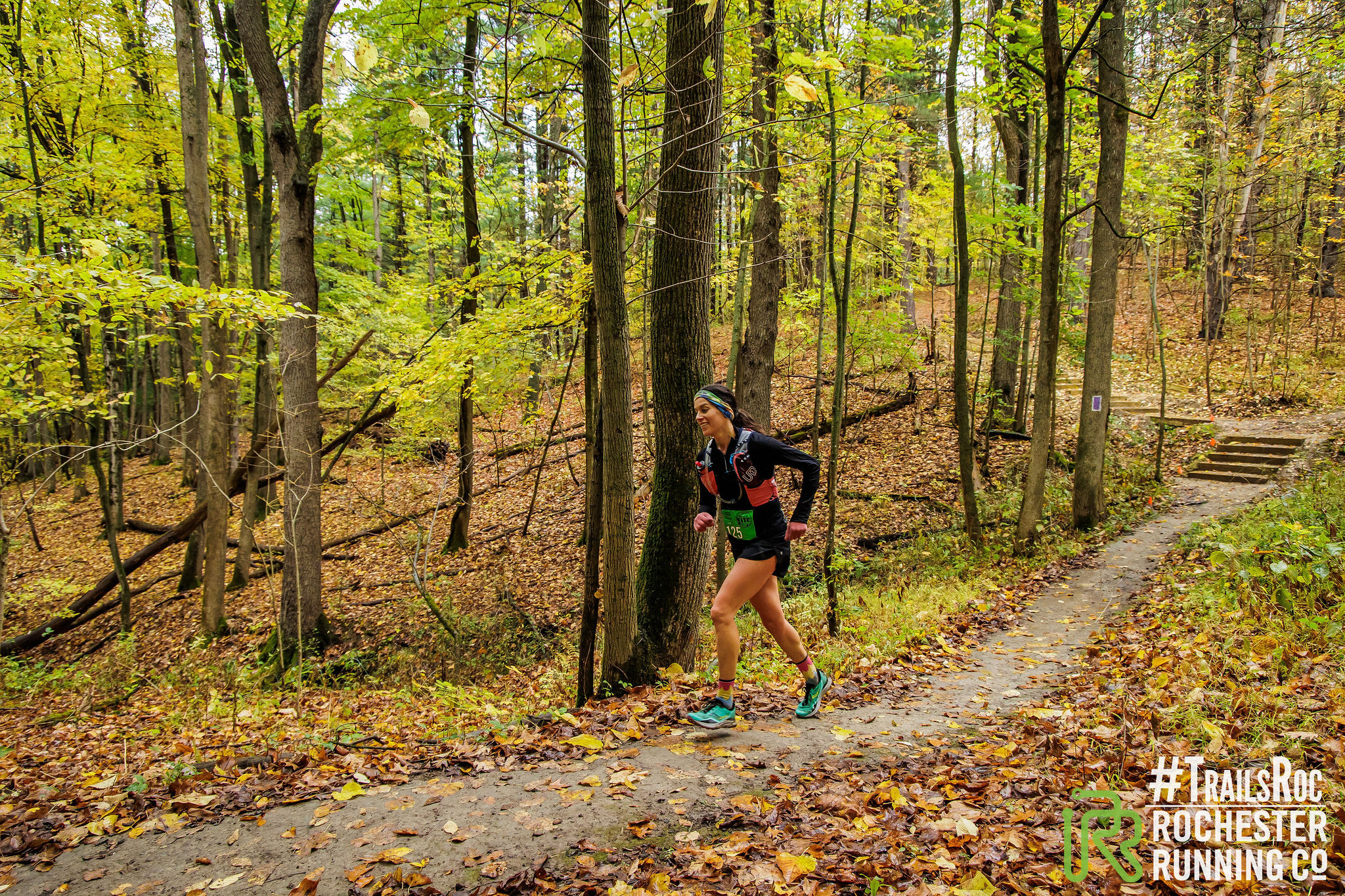
COURSE INFORMATION


Start: Parade Grounds entrance
Run down the park road
Turn left on trail 6a
Take Trail 6a to the footbridge Trail
Continue down the steps and across the footbridge
Once across take 127 stone steps back up out of the gorge
Take the lower falls pathway towards the Adventure Calls parking area
Pick up Trail #1 the gorge trail and begin to work your way North
Pass Wolf Creek – eventually working your way along the Gorge to your first Aid Station
TEA TABLES AID STATION (6 miles)
Continue North on trail #1 passing through overlooks and St. Helena.
At the bottom of St Helena you will pick up Trail #13 and climb back out of the gorge again
At the top of trail #13 you will cross the road, pick up Trail #11 and continue to head North
Once you have completed Trail #11 You will make a left on Park road – Crossing the road heading north to trail 15a.
This trail will take you 3.1 miles to Trail #15. Take a right and head down the long trip back in to the gorge.
Trail 15 Eventually merges with Trail #17 which begins the climb out of the gorge stopping at the next aid station
HIGH BANKS CAMP AID STATION (15.5 miles)
Leaving High Banks – Take the camp road down to trail # 18 – At the bottom of Trail #18 you will cross the Silver Creek Outlet (We will divert if water is too high for the weather conditions)
Pass the old CCC encampment and pick up Trail #19- This trail winds you around and eventually merges to Trail #19B.
Take 19B and once again climb out of the gorge picking up trail #20
Trail #20 is beautiful single track which will take you all the way back to the High Banks Recreation area where you head to the finish at our lodge for the weekend!
COURSE CUT OFFS
We have a course cut off at the aid stations that all hikers and runners must meet. A 20 mile day in 8 hours is a 2.5mph pace – You must cover the first 6 miles in 2.5 hours. Clearing aid #1 by 10:30AM – You must clear aid 2 at (The NYS parks police will be instituting a cut off) by 1:30pm or 5 hours and 30 minutes.
An official finish is getting to the finish line in 8 hours or 4pm
CREW DIRECTIONS:
Starting from Parade Grounds parking lot to Aid 1 (Tea Tables):
Location of Eddy’s Parking Lot (Tea Tables aka Aid 1) 5766 Park Road, Castile NY, 14427
- turn right onto East Parade Grounds Rd
- @ Stop sign turn right onto Rt 436 (Portage St) – 63mi to turn/.63mi total
- Stay on Rt 436 over the river bridge and turn heading up the hill- 1.07mi to turn/1.7mi total
- @ Stop sign turn right on Rt 19A – .3mi to turn/2.02mi total
- Turn right onto Park rd/into Letchworth State Park @ entrance – .25mi to turn/2.02mi total
- Stay straight on Park Rd, passing Archery Field, inspiration point, and great bend. Arrive at Tea Tables parking lot – 5.27mi to lot/7.29mi total
Directions from Aid 1 (Tea Tables) to Aid 2 (Highbanks Camping):
Location of Highbanks Camping Parking Lot (AID 2) 1724 Park Road, Leicester NY, 14481
- turn left heading north onto Park rd.
- Stay straight on Park rd past St. Helena, Gardeau overlook, until the 4-way intersection. 6.81 mi total
- Turn right onto Highbanks Camp Rd (look for the brown building for camper check-in).
Directions from Aid 2 (Camping) to Finish (Highbanks Rec Area):
Location of Highbanks Recreation Parking Lot 2240 Park Road, Mount Morris NY, 14481
- Head back toward Park rd.
- @ Stop sign turn right heading north onto Park rd. – .08mi to turn/.08mi total
- Stay on Park Rd until you see signs for the pool and the Park Police – 2.29mi to turn/3.37mi total
- Turn right into the parking lot. Park in the lot for the North Highbanks Shelter, it’s the shelter between the pool and police
- Be sure to wave to your friendly Park Police Officer, they are an essential part of the park.
